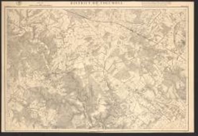
District of Columbia
- Image
- View Full Item
- Created Date
- [S.l.] : U.S. Coast and Geodetic Survey,
- Description
North oriented to upper left.
1 map on 6 sheets : mounted on cloth 166 x 168 cm, sheets 62 x 88 cm
- Creator
U.S. Coast and Geodetic Survey
- Partner
- Michigan Service Hub
- Contributing Institution
- University of Michigan. Libraries
- Collection
- UM Clark Library Maps
- Type
- image
- Format
- Image
- Language
- English
- Rights
- This map is in the public domain. Please attribute access and use of this digitized map to the Stephen S. Clark Library, University of Michigan Library.
https://www.lib.umich.edu/about-us/policies/copyright-policy
- Chicago citation style
- U.S. Coast and Geodetic Survey. District of Columbia. [S.l.] : U.S. Coast and Geodetic Survey. Retrieved from the Digital Public Library of America, http://name.umdl.umich.edu/IC-CLARK1IC-X-000887366%5D39015091897952. (Accessed January 21, 2025.)
- APA citation style
- U.S. Coast and Geodetic Survey, ([S.l.] : U.S. Coast and Geodetic Survey) District of Columbia. Retrieved from the Digital Public Library of America, http://name.umdl.umich.edu/IC-CLARK1IC-X-000887366%5D39015091897952
- MLA citation style
- U.S. Coast and Geodetic Survey. Retrieved from the Digital Public Library of America <http://name.umdl.umich.edu/IC-CLARK1IC-X-000887366%5D39015091897952>.
